The Roeul Commune is situated about 30 km NW of Siem Reap, 10 km north of the highway A6 from Siem Reap to Bangkok. The commune covers an area of about 80 km² and counts 14 villages with a total of about 16,000 inhabitants. From the highway A6 there is about
10 km gravel road up onto the community center, from there all
connecting roads are from rammed soil and in the monsoon season sometimes in
extremely bad condition.
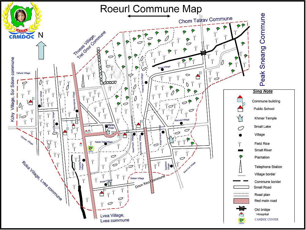 Map of Roeul Commune
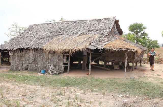
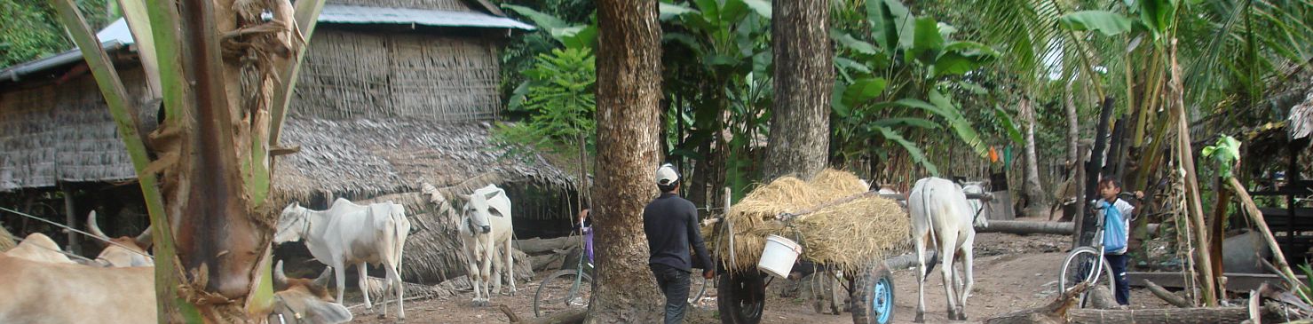
About half of the 3000 families live
in very simple huts, on poles to protect against flooding, with a roof of palm leaves.
The "better houses" at least have a roof from zinc plates and only a few
have brick walls and a roof with tiles. About a quarter of the
houses has an outside toilet, which is in general nothing more than a hole in the ground, covered by a toilet plate and a small shed built over it, to guarantee some privacy. Many people are therefore not familiar with basic hygienic behaviour.
The table
shows some data from the Roeul Commune. As a result of the
Khmer Rouge catastrophe, the number of people younger than 18 is about
48%.
The average family counts 5 persons, the average income per family is $ 50 per month.